


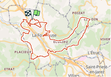

342 km | 442 km-effort

User


FREE GPS app for hiking
 SityTrail
IGN / Geographical institutes
SityTrail World
The world is yours!
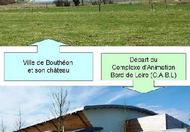
Trail Walking of 29 km to be discovered at Auvergne-Rhône-Alpes, Loire, La Fouillouse. This trail is proposed by nollac.
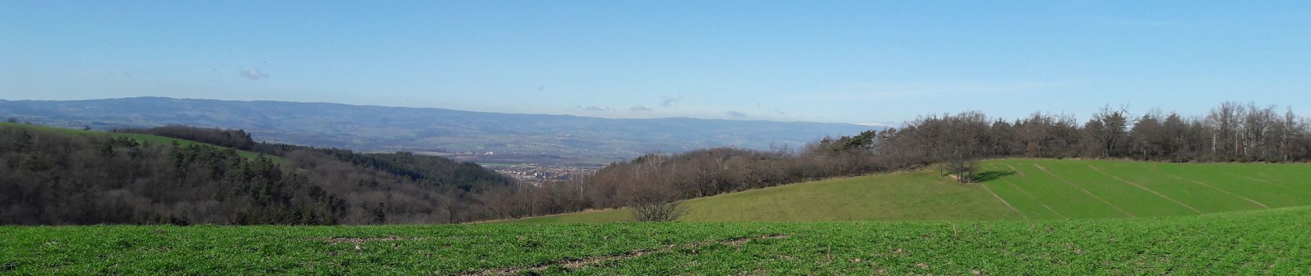
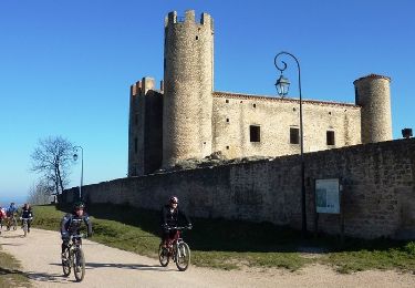
Rando qui permets d'avoir plusieurs points de vue à 360° au long de la balade.
Les montées et les descentes sont plutôt bien repartis sur la longueur de la rando.
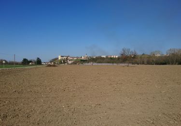
Certains chemins sont boueux et leur état est aggravé par les deux roues ...


Motor

Mountain bike
Walking
Walking
Walking
Mountain bike
Mountain bike
Mountain bike
Mountain bike